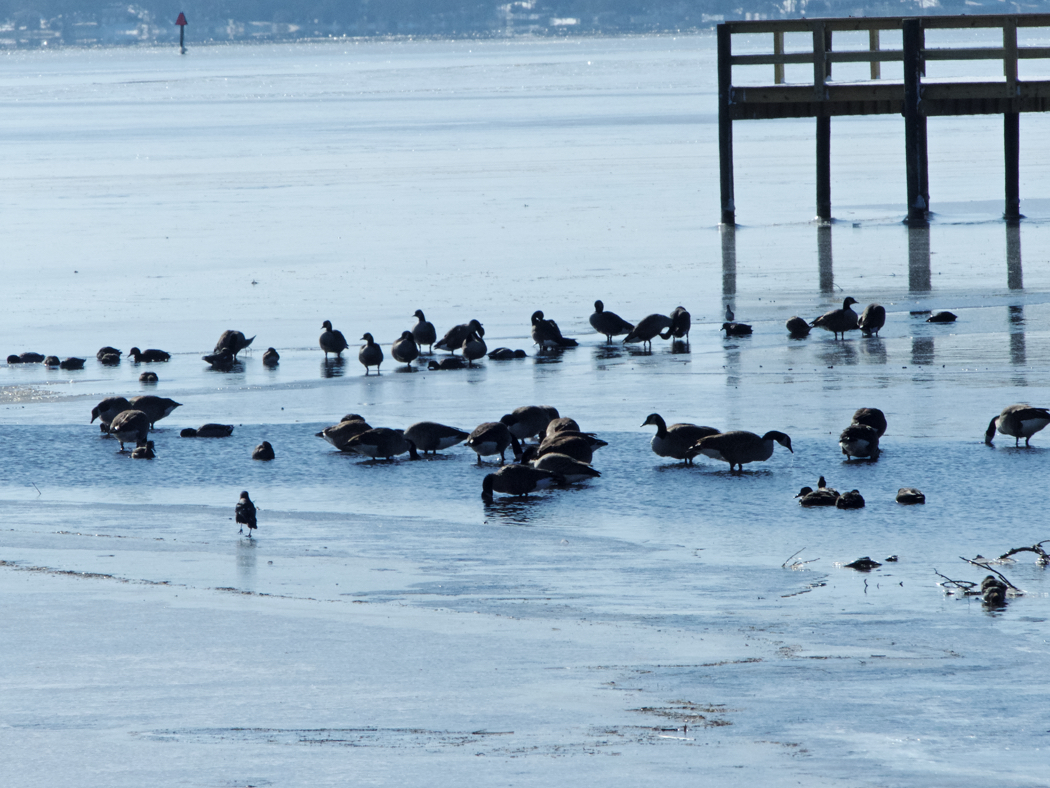
 Ducks, geese and sea birds at Kitty Hawk Bay escaping the north wind.
With temperatures finally climbing above freezing it looks as though Snowmageddon is finally coming to an end on the Outer Banks.
Effects of Cold Temperatures and Heavy Snowfall
Not completely back to normal yet. Dare County Schools will be closed on Monday—that's three snow days in a row. But county roads are still not completely cleared and the decision is a good one.
The main roads are cleared—and NCDOT, after what many considered a slow start, did put a number of plows on the roads to get them cleared. The problem is the secondary roads still have a lot of packed ice on them, and it's doubtful if that will melt before noon tomorrow.
The kids are all celebrating, of course, but all that time will have to be made up at some point.
The snow certainly snarled things, but what really set this particular event apart from other was the extreme cold. We had four days in a row where daytime temperatures didn't even come close to reaching the freezing mark.
Admittedly for someone living in Chicago or Bangor, Maine, that may not seem so odd, but here by the Atlantic Ocean, 250 miles or so south of the Mason Dixon Line, it's not so common.
The storm also brought some very strong winds with it. At 2:20 a.m. Thursday morning Jennette's Pier recorded a 74 mph gust with sustained winds of 63 mph. The measurements are taken on the pier itself, so winds on land are not quite as strong, but things were pretty lively for a while there including a thunder snowstorm.
The sounds are solid ice about 150 to 200 yards offshore, depending on where the winds are located. Kitty Hawk Bay, which is sheltered from the north winds, has more ice on it than areas where the waters are churned up by the winds.
Kitty Hawk Bay, though, is also where the ducks, geese and shorebirds have fled for protection.
The forecast for the next few days calls for moderating temperatures, and even a few above normal. We'll take that and be ready for the next snow...just in case there is one.


